Moosehorn National Wildlife Refuge, Baring Division, is outstanding. In 1934, Congress passed The Federal Duck Stamp Act to raise money for the establishment of National Wildlife Refuges. Just three years later, Moosehorn NWR became one of the first refuges in the country. Recent acquisitions have expanded the total protection area of the refuge to 28,808 acres.
Moosehorn has many claims to fame. First among these are its American woodcock study and restoration projects. Large tracts of the refuge are managed primarily for woodcock. Second in priority are the waterfowl, wading bird, and shorebird habitats. Four natural lakes are augmented by over 50 manmade wetlands. It is an important breeding ground for many species and a stopover point for many more. Its third claim to fame is its forest management practices. The refuge is carefully managed through selective woodcutting and prescribed burning to yield a diverse woodland habitat. Over 220 species have been identified at Moosehorn, including over 20 warbler species. Approximately one-third of the refuge is part of the National Wilderness Preservation System.
The Baring Division is the larger of the two and most of the birding opportunities are here. On the northern edge, Route 1 runs through the refuge. Magurrewock Marsh, in its various upper and lower sections, teems with waterfowl in the spring and fall. Many species linger to breed. Canada goose, wood duck, green-winged and blue-winged teal, American black duck, mallard, ring-necked duck, hooded and common mergansers, common loons, American coot, and pied-billed grebes are all confirmed nesters. Snow goose, brant, northern pintail, northern shoveler, gadwall, American wigeon, and lesser scaup all pass through. Virginia rail and sora breed in Magurrewock Marsh. Marsh wrens in late May can be heard buzzing all night long.
The most visible bald eagle’s nest in Maine is right next to busy Route 1. Bald eagles have shown sensitivity to human disturbance, but apparently that does not apply to the pair that has taken over a platform originally intended for ospreys. An observation deck has been erected a discreet distance away, adjacent to the road, and offers excellent views from snowmelt through July when the birds disperse. At least three pairs of eagles nest within Moosehorn. Ospreys, undeterred, nest nearby on other platforms.
Expect some frustration in birding along Route 1. The road is heavily traveled at all times, with many large trucks, and the noise will challenge the best birding ear. It is possible to park near the railroad crossing on Route 1 just south of the Charlotte Road and walk the tracks into the center of the marsh. The tracks divide Lower Barn Meadow from Lower Magurrewock Marsh. Virginia rails and sora are present on either side. Marsh wrens chatter incessantly. Kingbirds,catbirds, and yellow warblers are prominent, and warbling vireos have been found nesting at the end of this spur near the river. Do not go beyond this spur’s junction with the main track along the river, because this track is still active and trains can appear with little warning.
The Charlotte Road divides the Baring Division from north to south. It also gets heavy traffic. Turning south off Route 1, the Charlotte Road passes by the largest portion of Magurrewock Marsh. Because the marsh is valuable nesting habitat, there are few opportunities for close observation. Resign yourself to views from the roadside, even at the dam-controlled end of the marsh where Canada geese abound. It takes no patience to see a great blue heron, and only a little patience to become aware of the American bitterns that are present. Their odd, thunder-pumping song can be heard for half a mile during the spring, and they are frequently seen on the wing.
The Moosehorn offices and visitor center are located some three miles south of the Charlotte Road intersection with Route 1. It is often best to go there first, because the kiosk provides bird lists, trails maps, and detailed information about the refuge. Bathroom facilities are available. Also, there are two interpretive trails nearby. The Habitat Trail loops for 1.2 miles behind the center. It is good for common warblers such as black-throated green, black-and-white, magnolia, and American redstart. The Woodcock Trail loops for 1/3 mile at the entrance of the access road. Since the primary management species of Moosehorn NWR is woodcock, this interpretive trail offers great insight. Woodcock are abundant throughout the season and vocal from late April through late May. Their lek displays are some of the most famous in the bird kingdom. This trail is handicapped accessible.
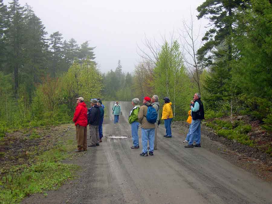
There are 50 miles of dirt roads and trails in Moosehorn. Many roads are gated, but unless otherwise posted, walking them is permissable. All roads are good, but several are best for birding. The Barn Meadow area encompasses an incredible diversity of habitat. At first, the trail leads through thin woods, good for American redstarts, magnolia and black-throated green warblers, as well as red-eyed and blue-headed vireos. Scarlet tanagers are regularly heard but seldom seen. After a quarter mile, there is a substantial stand of large white pines on the right side of the trail where pine warblers sing as if on cue. Not long after crossing the railroad tracks, a service road circumnavigates a set of ponds regulated for water depth. Blue-winged teal and American black ducks are the most likely nesters but be prepared for anything. Virginia rail and sora are sometimes vocal. A dozen different warbler species are likely to be identified while circling the ponds. Stay alert for Wilson’s snipe, bobolink, and northern harrier.
Directions: The Barn Meadow trail entrance is obscure. Look for several boulders lined up next to the road just beyond the Magurrewock Impoundment on the Charlotte Road 3/4 mile from Route 1. The trailhead is on the far left side of the small field.
Just beyond the Magurrewock Impoundment, there is a parking lot and a paved path leading through a bobolink-infested field to a small blind on the marsh. Canada geese, wood ducks, and other dabblers may be present. Swamp sparrows and common yellowthroats are easy to see here. Eastern phoebes nest under the eaves of the blind, and other flycatchers are nearby, including alder and yellow-bellied. Virginia rails are secretive within the reeds. This trail is handicapped accessible. Directions: At 1.3 miles on the Charlotte Road, look for a small parking lot on the left.
At 3 miles along the Charlotte Road, a right turn leads to the Refuge Headquarters. Opposite the entrance road to the headquarters, there is an entrance to two roads that can be birded on foot. The gate for the left fork is normally open for vehicle traffic, which allows cars a limited distance to some of the wetlands. Gated trails lead along the Goodall Heath Road to the Vose Pond Road for an excellent loop around several ponds and flowages, plus heath and mixed hardwood stands. Veery is the predominant thrush in this area. The road is good for many species of warblers, blue-headed and red-eyed vireos, Wilson’s snipe, and a variety of waterfowl. Be on the lookout for moose.
The stretch of Charlotte Road south of Refuge Headquarters is boreal forest. Saw-whet owls are present along this stretch of road, and they can be heard calling before dawn from late winter to June. They often seem to be in vocal competition with the whip-poor-wills, which are also common along this road and along the refuge’s many dirt roads.
At the southern end of the Baring Division, another nice walking loop takes birders through more good waterfowl flowages. A loop using the South Trail, South Ridge Road, and Beaver Trail is just over three miles long. Parts of it pass through enough mixed forest and wetland habitat to provide an unusually high diversity of species. Directions: Look for South Trail on the west side of Charlotte Road approximately 6 miles from Route 1. Beaver Trail is only 0.3 miles beyond. South Ridge Road connects these two trails for an easy loop, but it’s wise to bring a map, as all trails look alike.
Charlotte Rd
Calais, ME 04619
GPS: 45.121627, -67.274866