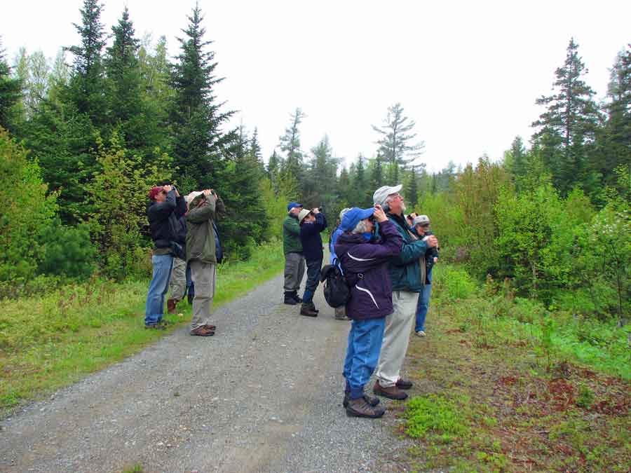
Moosehorn National Wildlife Refuge, Edmunds Division is less than half the size of the Baring Unit farther north, but its 8,781 acres include some of the most strongly tidal shoreland in America, with 24-foot fluctuations that alternately reveal and conceal mud flats for the shorebirds. Much of the shoreland section of this unit is managed by Cobscook Bay State Park. But what really makes the Edmunds Division attractive is a loop of dirt roads that plunge into exceptional mixed woodland and managed wetlands. The refuge is particularly good for warblers, vireos, thrushes, flycatchers, and woodpeckers. Expect black-and-white, black-throated green, black-throated blue, Nashville, and magnolia warblers. Try for Cape May, Canada, blackburnian, and bay-breasted warblers. Northern goshawks are regular but seldom seen nesters. Like the Baring Division of the refuge, The Edmunds Division is managed primarily for American woodcock.
The South Trail Road turns west from Route 1 just south of the Cobscook Bay State Park entrance. The North Trail Road likewise turns west about a mile north of the park entrance. Both are marked with small kiosks. Signs indicate that the roads are to be treated as a loop, using Crane Mill Road to connect. Enter via the South Trail. Exit via the North Trail.
The Crane Mill Brook Flowage is just a quick walk beyond the gate at the end of South Trail Road. It is worth a quick peek for waterfowl. The aspens behind the outflow are good for shrub-loving warblers and sparrows.
Crane Mill Road intersects North Trail Road at the midpoint of the latter’s three-mile excursion into the woods. The first half of North Trail is especially good for warblers, vireos, and Swainson’s thrushes. The last half-mile follows a stream that flows through a burned area - a good spot for chestnut-sided warblers and swamp sparrows. Along its length, the North Trail produces seven flycatchers: alder, least, yellow-bellied, olive-sided, great-crested, eastern wood-pewee, and eastern phoebe. Just west of the North Trail intersection with the Crane Mill Road, Weir Road enters from the right. It is gated, but it is a great walking trail past a series of small ponds. It is three miles, one-way, to Route 1 along this road.
Directions: The South Trail Road is almost 4 miles north of the Route 1 intersection with Route 189. The North Trail Road is a mile farther north.
Rural Rte 1
Dennysville, ME 04628
GPS: 44.845091, -67.170576

